Categories
- Radar, Sonar, Navigation, Targeting, Surveillance
INSTITUTO GEOGRAFICO MILITAR (IGM) is the Chilean Military Geographic Institute that specializes in the application of Geographic Information Systems (GIS) for military and civilian use since its foundation in 1922.
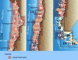
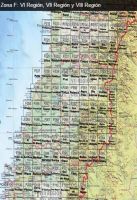
The institute specialises in everything related to mapping and surveys in different scales and formats, obtaining, generating and disseminating geocartographic-oriented information to the State of Chile and various national and international organizations related to earth sciences.
IGM’s photogrammetric department is divided into the orthophotography division and the analysis and restitution division. The orthophotography division performs works related to orthophotos and digital elevation models (DEMs) for the study of road maps, physical maps and terrains in general.
Among the services offered by the Company are the measurement and creation of control points by capturing data using geo-receptors (GPS), precision-geometric and trigonometric leveling calculations, aerial triangulation and adjustments to photogrammetric blocks with precision analytical instruments, (Planicomp p-2), the setting-up of profiles, and the calculation of surface area through analytical photogrammetric procedures, among others.
The Company also offers services related to geodesy, tachometry, leveling, general digital cartography, topography and tachometric surveying with GPS and total station measurements, as well as cartography of hazards, scanning of aerial photographs, digital ortho-photographs, and offset printing.
Instituto Geografico Militar (IGM)
- Santa Isabel Avenue 1651 (ex 1640), Santiago, Chile
- +56224109300
- (+56) 22 4109380
- www.igm.cl


